Geomatic engineering, Pūhanga rokiroki mōhiohio matawhenua
Geomatic engineering is the study of how to measure and visually represent natural and constructed environmental features.
It gives you an understanding of cadastral law, surveying theory and technology, map design and construction theory, and how to organise, work out costs and complete the tasks of survey projects and map production.
You might learn about
- measuring, reducing and adjusting data for surveys
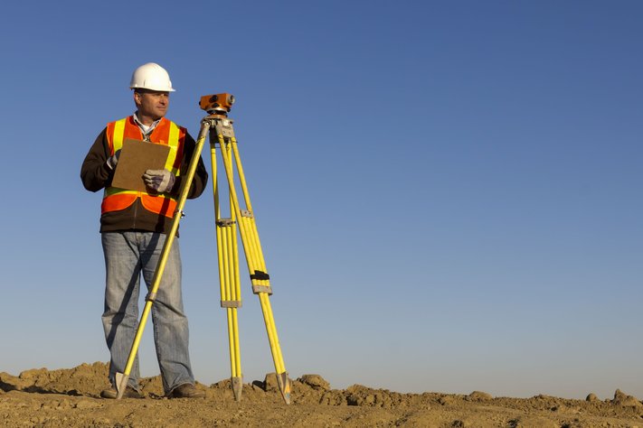
- how to use surveying instruments
- calculating locations of points on the Earth
- how to prepare survey plans
- remote sensing, photogrammetry and land information systems
- preparing, editing and revising maps and charts
Your focus could beTō tino arotahi,
These courses develop your ability to identify and work out the size and location of areas of land and water and their features, and plan and design maps.
Study and training options, Ngā kōwhiringa ako me te whakangungu
Similar study areas in Engineering, Ngā wahi akoranga ōrite i te Pūhanga
1 of 3